Give rural Hays County ground a true scale
Land and Ranch Drone Photography in San Marcos, TX
For land and ranch drone photography, San Marcos, TX sellers need an honest picture of ground beyond the dense college and river core. The rural edges and surrounding Hays County countryside tell another story, and Skycrafted Imaging gives pasture, working ground, and larger tracts a clear aerial and ground introduction so buyers can see visible access, acreage, and county context.


Rural ground gets lost behind a city label
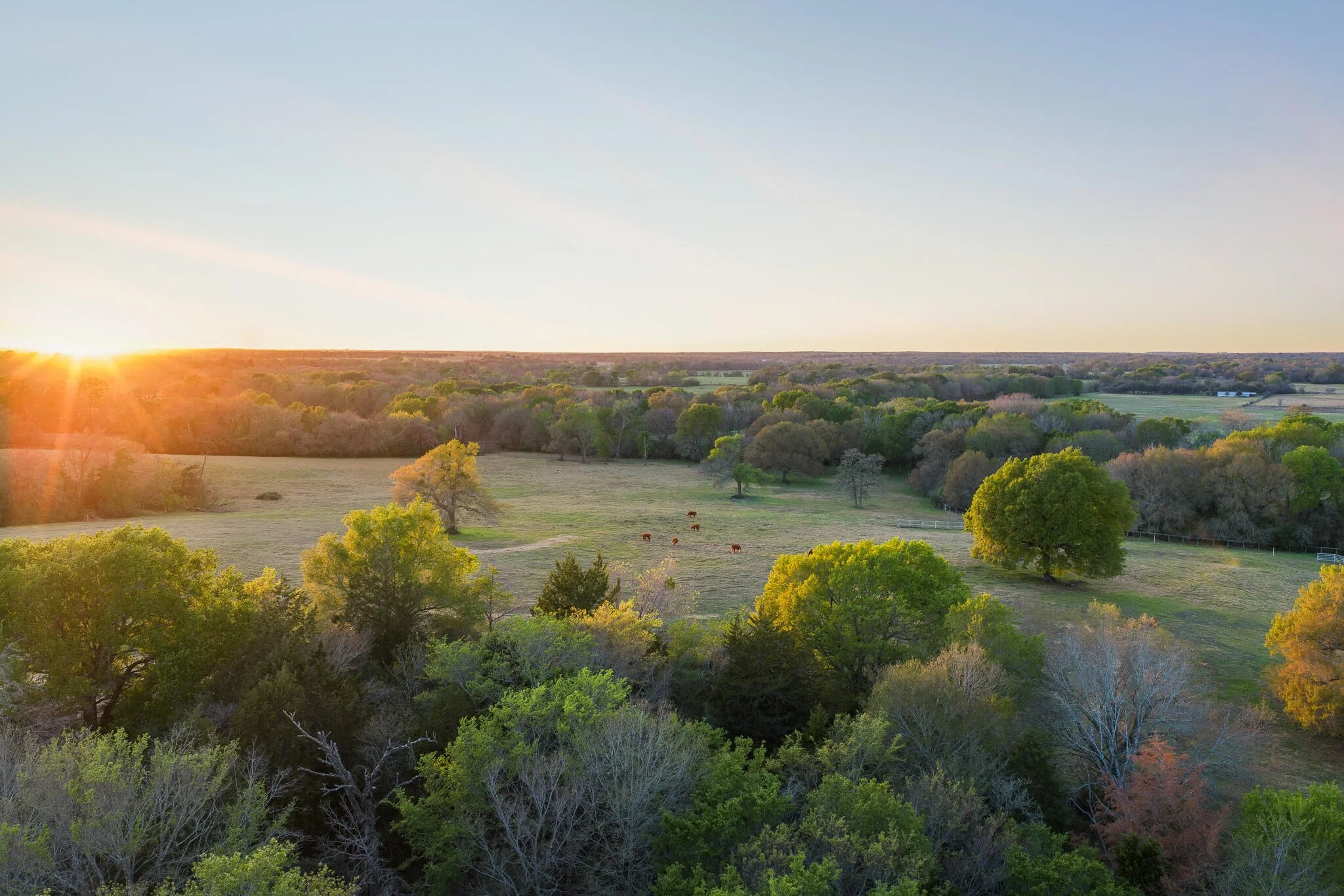
A San Marcos address can suggest streets and storefronts. Yet the county's more rural stretches hold historic agricultural and ranching land. Cattle, goats, hay, and crop production remain part of the working landscape away from the city core.
A gate image rarely explains that setting. It cannot show the relationship between open pasture, interior roads, improvements, and nearby rural ground. A buyer may see a pleasant image without understanding the land's visible working character.
why skycrafted imaging
Frame the tract around real use and access

Skycrafted Imaging plans from the ground outward. We discuss entry points, roads, open areas, improvements, and the audience reviewing the land. The route then connects broad orientation with useful on-site details.
Aerial stills show how the acreage holds together, while ground images place viewers at key entries and improvements. A concise reel carries a prospect through the tract in a logical order. The work presents visible facts, not a promise about future entitlement.
LAND AND RANCH DRONE PHOTOGRAPHY SERVICES IN SAN MARCOS, TX
Choose the focused coverage that matches the assignment:
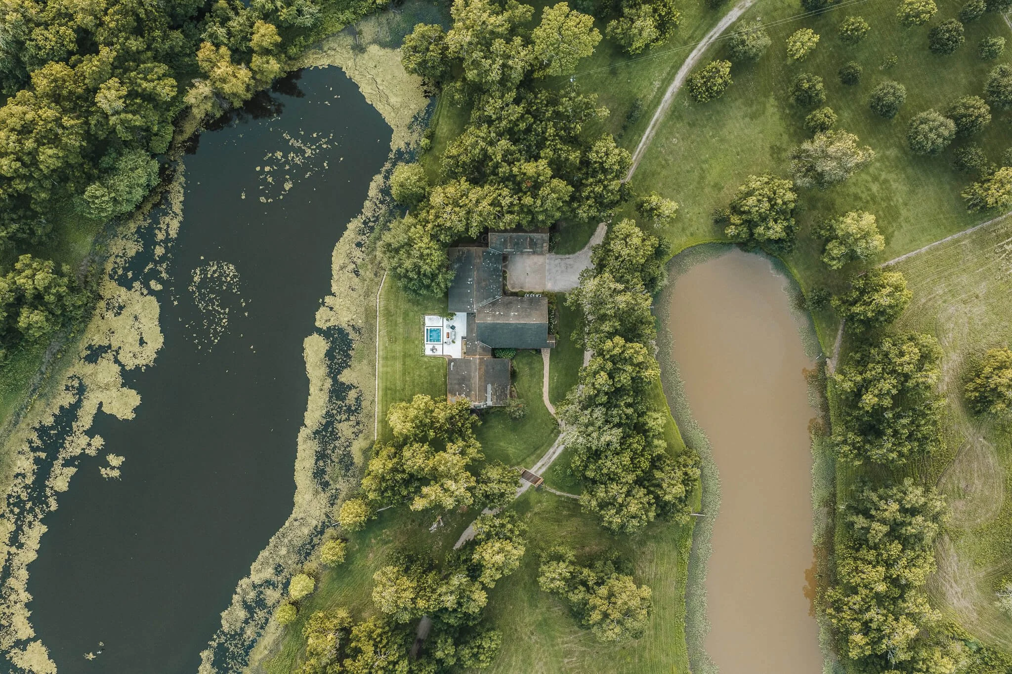
Choose elements that support an honest first review:
Pasture-scale aerial sets for open ground, fencing, visible roads, and tract relationships.
Working-land detail frames for improvements, gates, barns, water features, and current conditions.
County-context property reels for listings, buyer outreach, and investment conversations.
Agricultural-use visuals for former or active farm ground, hay fields, grazing areas, and rural settings.
This is not a wooded-retreat story. It is a working-land and larger-tract story shaped by rural Hays County. That clarity supports better questions before a longer visit. We select frames that explain acreage, access, and visible use without making claims the media cannot prove.
the process
A clear plan from address to delivery
Step 1. Book your shoot
Share the address, acreage, and listing date. We confirm the scope, talk through the property’s priorities, and schedule the right window.
Step 2. We craft the story
Your photographer, drone pilot, or videographer arrives prepared to capture aerial and ground coverage in one visit. We work with the property, light, access, and marketing goal in mind.
Step 3. Deliver in 3–5 days
You receive a curated, MLS-ready gallery and reel, licensed for your marketing. Clean delivery. Clear next steps. Assets ready to publish.
WHAT THEY’RE SAYING


The Team Behind Every Frame
Local perspective, professional execution
Skycrafted Imaging is Texas-based, licensed and insured, and serves 22 counties across Central and Southeast Texas. Land work near San Marcos is focused on Hays County and its rural surroundings.
Founder Lane Fritsch is FAA Part 107 certified. He uses professional aerial and ground equipment with a plan based on access and conditions. You work with one guide who treats the tract as a place buyers must understand, not a scenic backdrop.

GOOD LAND MEDIA SHOULD ENCOURAGE BETTER QUESTIONS
Property media does not establish boundaries, water rights, road rights, utilities, zoning, or agricultural status. It can reveal what is visible. For rural ground near San Marcos, that first orientation can help a serious buyer recognize whether the tract deserves a deeper visit and proper due diligence.
Success: You show the land as a connected rural property, and give qualified buyers a stronger place to start.
Failure: The tract becomes a series of distant views, leaving its acreage, access, and working context unclear.
Let qualified buyers read the ground sooner
Share the tract and the purpose behind its marketing. We will recommend coverage that explains its rural Hays County setting with care.
Practical answers before you book
-
Yes. Skycrafted works with properties ranging from smaller tracts to expansive Texas ranches and large land holdings. We determine the right combination of ground and aerial media based on the size and features of the property.
-
Yes. Boundary overlays can be added to select aerial imagery when included in the project scope. Property boundary information should come from the client or an appropriate survey source.
-
Yes. Photography, cinematic video, and aerial media can be booked together to create a more complete visual package for a listing or presentation.
-
Typical delivery is approximately 3–5 business days, depending on the scope of the shoot and requested deliverables.
Freebie alert
Unlock Our Exclusive Insights & Current Packages