Give Wimberley ranch land a true sense of scale
Land and Ranch Drone Photography in Wimberley, TX
For land and ranch drone photography, Wimberley, TX sits in a part of the Hill Country where genuine ranch and acreage tracts remain common, a legacy of the area's history as a cattle and cotton community before tourism and the arts reshaped its town center. Skycrafted Imaging gives that land a clear aerial and ground introduction, so buyers can see terrain, elevation, and access.


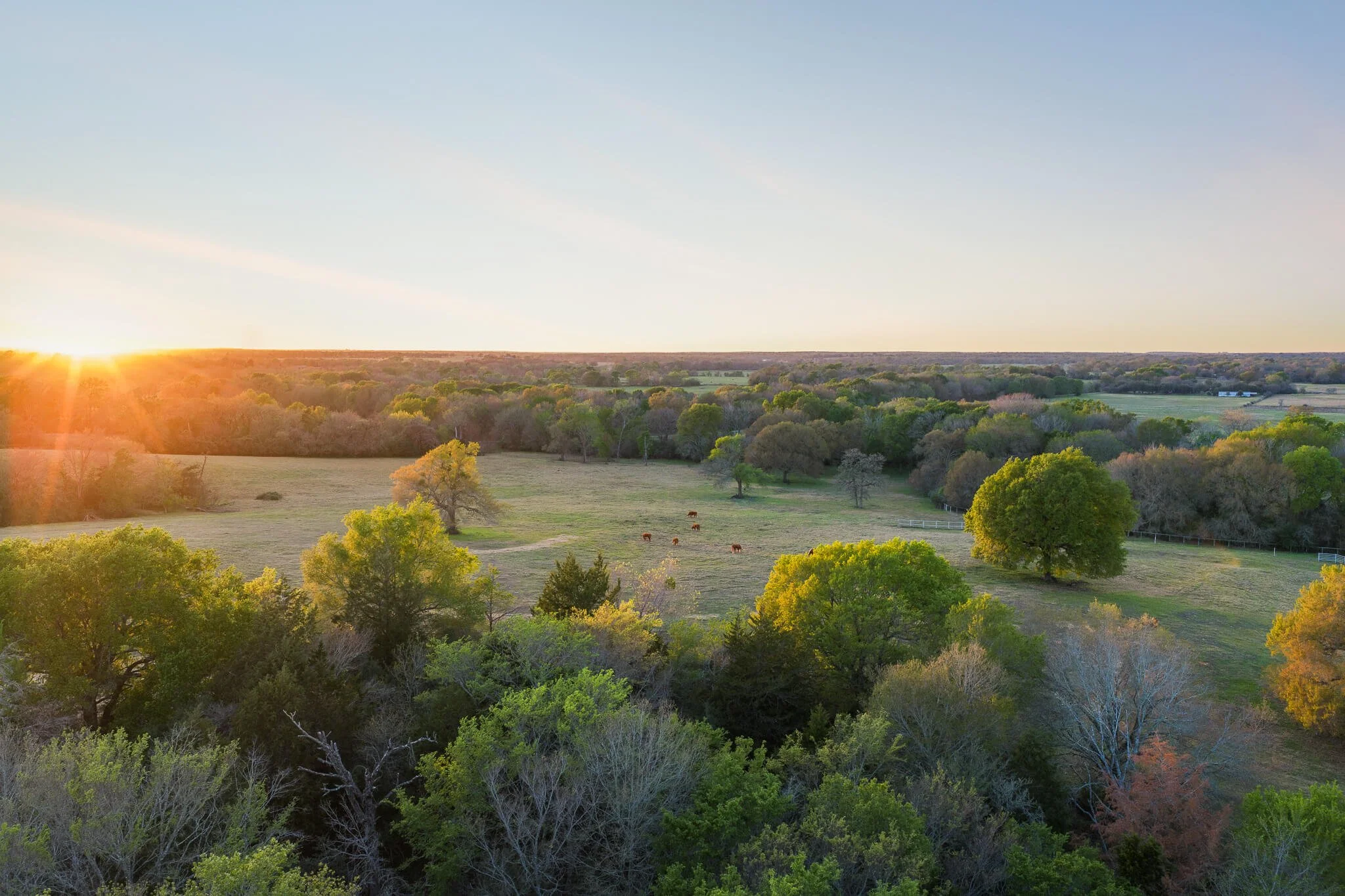
Hays County's Hill Country terrain rises and falls across limestone ridges, live oak groves, and open pasture. A tract near Wimberley may hold real distance between its entrance, its buildable areas, and any water frontage or long views.
A handful of ground photos rarely explains that layout. They can't show how elevation, tree cover, and access roads relate across the property, so a buyer sees isolated snapshots instead of a coherent sense of the land.
SOME LAND NEEDS
A WIDER VIEW
why skycrafted imaging
Frame the tract by its terrain and access

We treat the tract as the starting point, walking its entry points, elevation changes, and any creek or river frontage before settling on a flight path.
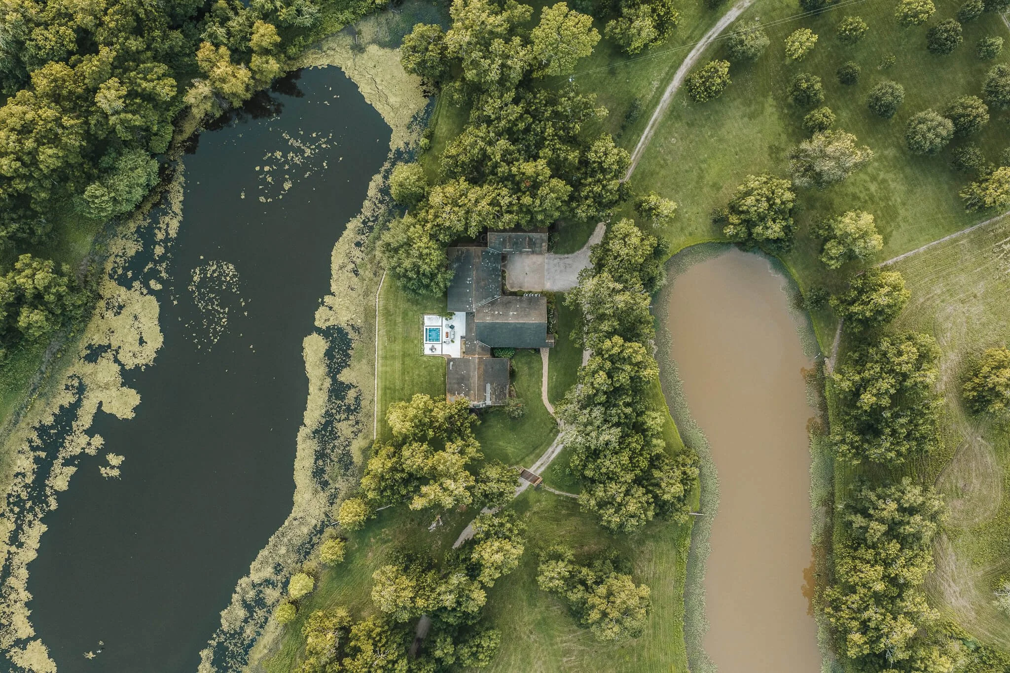
Aerial passes reveal how the ground climbs, drops, and opens across the acreage. Ground-level frames fill in texture a wide shot misses, from fence lines to gate hardware. A short reel then guides a viewer through those features in a natural order.
LAND AND RANCH DRONE PHOTOGRAPHY SERVICES IN WIMBERLEY, TX
Choose the focused coverage that matches the assignment:

Pick the services that fit a rural Hays County property:
Ranch-scale aerial surveys covering elevation, boundaries, roads, and pasture or wooded ground.
Working-land detail sets for fencing, gates, water features, and current improvements.
Hill Country view studies for tracts with long sightlines, ridgelines, or creek and river glimpses.
Buyer-facing acreage reels for tracts marketed to builders, ranchers, or long-term land buyers.
This is a genuine land market shaped by the area's ranching roots, not scenery borrowed for a marketing photo.
the process
A clear plan from address to delivery
Step 1. Book your shoot
Share the address, acreage, and listing date. We confirm the scope, talk through the property’s priorities, and schedule the right window.
Step 2. We craft the story
A Part 107 pilot arrives prepared to capture aerial and ground coverage in one visit. We work with the property, light, access, and marketing goal in mind.
Step 3. Deliver in 3–5 days
You receive a curated, MLS-ready gallery and reel, licensed for your marketing. Clean delivery. Clear next steps. Assets ready to publish.
WHAT THEY’RE SAYING


The Team Behind Every Frame
Local perspective, professional execution
Skycrafted Imaging is Texas-based, licensed and insured, serving 22 counties across Central and Southeast Texas. Land work near Wimberley is centered in Hays County, with reach into nearby Blanco and Comal Counties.
Founder Lane Fritsch is FAA Part 107 certified and brings equipment suited to varied terrain, and takes the time to learn the tract rather than treating it as a backdrop for a quick set of images.

A CLEAR PICTURE OF THE LAND SHOULD INVITE THE RIGHT QUESTIONS
Land photography and video won't confirm boundaries, water rights, easements, or zoning. It shows what the terrain actually looks like from above and on foot, which most buyers can't picture from a plat map alone. For Hill Country tracts near Wimberley, that visual clarity can be the reason a serious buyer schedules an in-person visit instead of scrolling past.
Success: The tract reads as one coherent piece of land, prompting qualified buyers to take the next step.
Failure: The listing stays a pile of disconnected snapshots, and the terrain and access that matter most remain a guess.
Practical answers before you book
-
Yes. Skycrafted works with properties ranging from smaller tracts to expansive Texas ranches and large land holdings. We determine the right combination of ground and aerial media based on the size and features of the property.
-
Yes. Boundary overlays can be added to select aerial imagery when included in the project scope. Property boundary information should come from the client or an appropriate survey source.
-
Yes. Photography, cinematic video, and aerial media can be booked together to create a more complete visual package for a listing or presentation.
-
Typical delivery is approximately 3–5 business days, depending on the scope of the shoot and requested deliverables.
Let the land speak for itself
Tell us about the tract and who you're marketing it to. We'll put together a coverage plan suited to its actual Hill Country terrain.
Freebie alert
Unlock Our Exclusive Insights & Current Packages